

Twice a month at Frederick Douglass Academy, students from over 35 Detroit Public Schools Community District gather as part of Geographic Information System (GIS) program.
The GIS program consists of students working with professionals to learn more about computers and GIS maps in hopes of preparing them for a summer job.
According to the Grace Project, which runs the program, students who finish eight required courses will be qualify for a six-week GIS internship with a City of Detroit department.
I participated in the program on Feb. 4, and there were three classes taking place. The first class we worked on, we had to type about different topics and then change the color by adding code. My second class, we had to take a look at maps. Then my last class we all logged onto the computer to work on GIS map
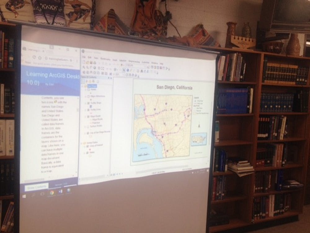
I created my account, which allowed to sign into the ArcGIS website, which we used to acquire the GIS maps. The first map we looked at was San Diego, California. The second map was of San Antonio, Texas.
The course is held Saturdays, twice a month, from 9 a.m. to 1 p.m. in the Douglass media center.