academics, eye-of-the-hurricane
Students can learn map software
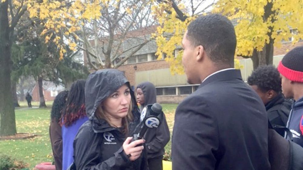
By Detroit Dialogue | December 16, 2015By Khalil Wilson Eye of the Hurricane Vocational training in Geographic Information Systems (GIS) is being offered to Frederick Douglass students. GIS is a growing, high-paying high-tech field focused on visualizing data and creating and using maps. Students taking the course will learn the skills necessary to create and use map data, and upon completion of the course, students will receive a certificate. Detroit Public Schools is offering a 10-week course for students to learn how to use GIS.